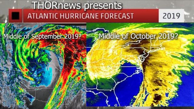
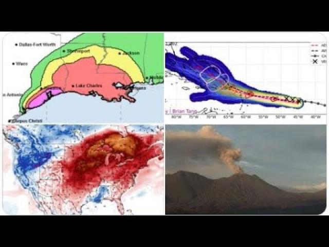
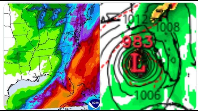
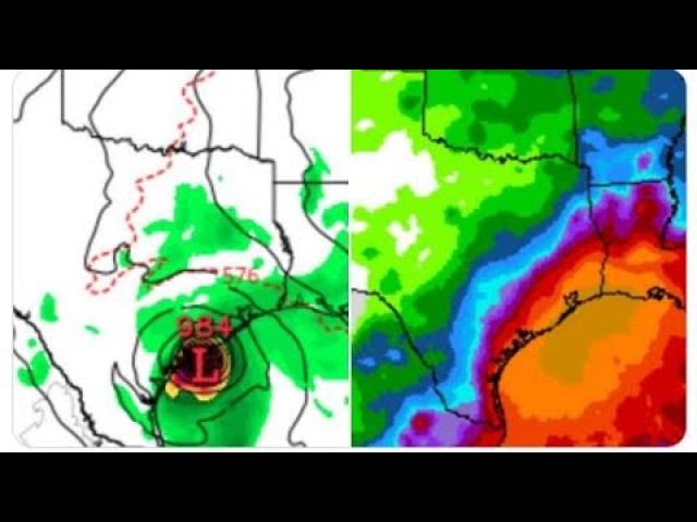
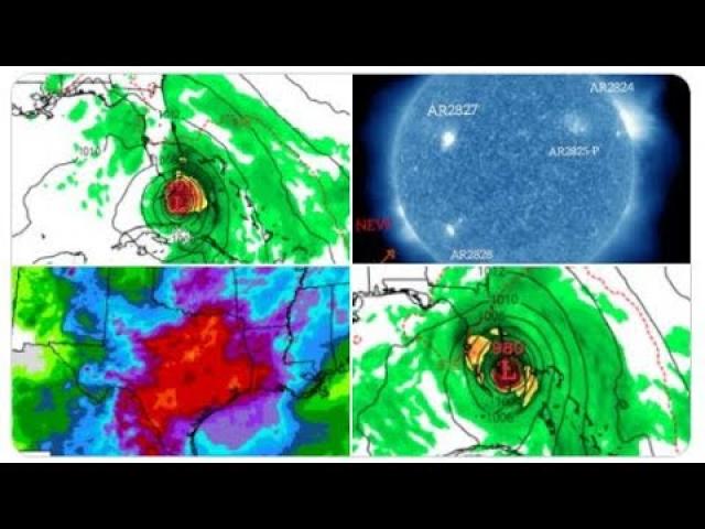
Big Texas Flood & High Hurricane Alert!!! September 26th - October 10th.
Description
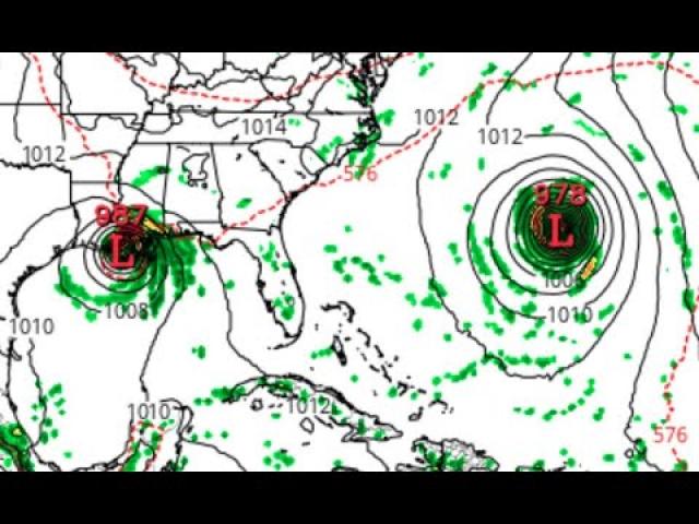
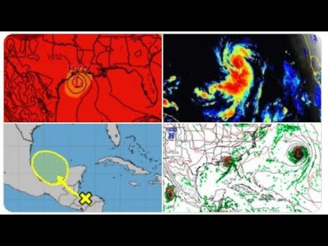
Tropical Storm Kirk will probs become a major Hurricane & threaten the Gulf of Mexico to Florida. The Remnants of Florence could complete a worst cast scenario and turn back into a hurricane and hit the East coast. and there are 2 wildcards on the board. The data changes so fast its hard to keep up so be ready for anything.
God bless everyone,
Stay Cool
T
https://www.paypal.me/THORnews
Tshirts
https://hitthebuttonbaby.com/
THORNEWS
PO BOX 35946
HOUSTON TEXAS
77235-5946
the crankywxguy blog
http://www.stormhamster.com/entry/e092218.htm
the wave master
https://dabuh.com/
article on storm
https://weather.com/storms/hurricane/news/2018-09-21-tropical-activity-atlantic-pacific-late-september-trami-kirk
Here's What We're Watching in the Tropics as Activity Starts to Increase Again
The first half of September was a very active period in the tropics.
The last few days have been fairly quiet across the globe.
Tropical activity has begun to increase again in the Atlantic and Pacific.
Tropical activity in the Atlantic and Pacific is starting to increase again after a few generally quiet days.
This recent break in tropical activity came after a busy first half of September. This was no surprise, as the active period came at the peak of hurricane season in the Atlantic.
There were five named storms in the first two weeks of September, three of which became hurricanes – Florence, Helene and Isaac.
In the Pacific, the strongest storm of the season, Typhoon Mangkhut, developed and caused extensive damage in the northern Philippines and southeastern China.
Now, there are several areas we are watching for tropical activity as September ends.
Watching Four Areas in the Atlantic Basin
Tropical Storm Kirk developed Saturday morning about 450 miles south of the Cabo Verde Islands. Kirk will track quickly westward over the next few days far from land.
Some intensification is possible this weekend, but vertical wind shear may increase next week possibly limiting additional strengthening.
Trami is more about 900 miles southeast of Okinawa and is tracking toward the west.
Moisture from Trami increased rainfall near Guam. With the ground already saturated from heavy rainfall from Mangkhut last week, the increased moisture in this region has brought the concern for flooding.

