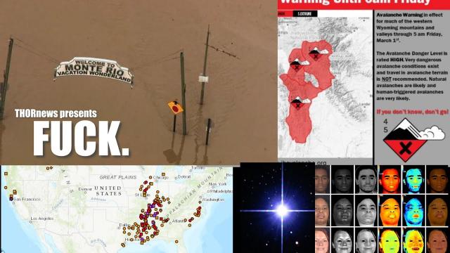
CATASTROPHIC FLOODING for 7 USA States due to 20+ inches of RAIN!
Description
https://www.paypal.me/THORnews
THORNEWS PO BOX 35946
HOUSTON TEXAS
https://www.patreon.com/thornews
@newTHOR on twitter
https://www.facebook.com/THORnewsthornews
We already have 141 Rivers Flooding & 167 Rivers near Flood Stage & then we will see this major storm slowly drop rain all over the Central USA until Saturday. Then our Parade of storms will continue at least trough April 9th. This is a serious situation.
God bless everyone,
T
articles on the situation
https://www.accuweather.com/en/weather-news/enhanced-flood-risk-to-target-texas-to-tennessee-into-late-week/70004514
Enhanced flood risk to target Texas to Tennessee into late week
A slow-moving system will unleash flooding downpours and locally severe thunderstorms across the southern United States into Thursday.
The system will tap into plenty of moisture from the Gulf of Mexico as it crawls south and east through midweek.
Downpours that will first deliver a thorough soaking from St. Louis to Dallas into Tuesday night will expand into the corridor from Nashville to Houston by Thursday.
A few locations may reach or surpass their normal monthly rainfall for March in the span of a few days, with the hardest-hit areas picking up 4-8 inches of total rainfall.
“Areas that have recurrent [downpours] will be at risk for flash flooding, small stream flooding and potential river flooding through Thursday,” said AccuWeather Lead Long-Range Meteorologist Paul Pastelok.
Those who live near small creeks or streams or in low-lying and flood-prone areas should be wary of rising water levels and be ready to evacuate if necessary.
Reduced visibility due to the intense rainfall and blowing spray from vehicles may slow motorists on stretches of interstates 10, 20, 22 30, 35, 40, 49 55, 59 and 65.
Motorists driving along secondary roadways could encounter high water. If this occurs, do not attempt to drive through the floodwaters. Instead, turn around and find an alternate route.
Airline passengers at the major hubs in the region, including Dallas, New Orleans and Nashville, may face lengthier travel times.
In addition to the flood threat, residents along the western and central Gulf Coast states will also need to be on alert for damaging thunderstorms.
“There will be several chances for severe weather across the southern U.S. this week,” said AccuWeather Senior Storm Warning Meteorologist Rich Putnam.
Into Tuesday night, thunderstorms could turn damaging from the Rio Grande River in Texas to the Red River in southeastern Oklahoma and southwestern Arkansas.
Austin and San Antonio, Texas, could be rocked by damaging wind gusts, hail and flooding downpours.
The threat for severe weather will continue at midweek and expand farther to the south and east. There is the potential for communities to be at risk for violent storms from San Antonio and Corpus Christi, Texas, to Lake Charles and Lafayette, Louisiana.
Putnam anticipates that there will be enough of the right ingredients in place from southeastern Texas through western Louisiana for storms to produce wind damage and even isolated tornadoes. Hail will also be possible.
The system will pick up speed as it moves into the Southeast at late week, possibly unleashing one or two more rounds of severe weather along the Gulf Coast states before sweeping off the East Coast.

