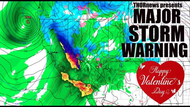
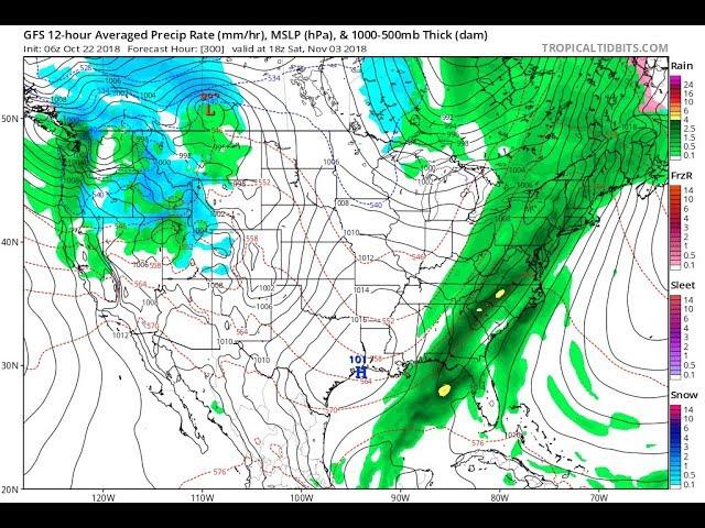
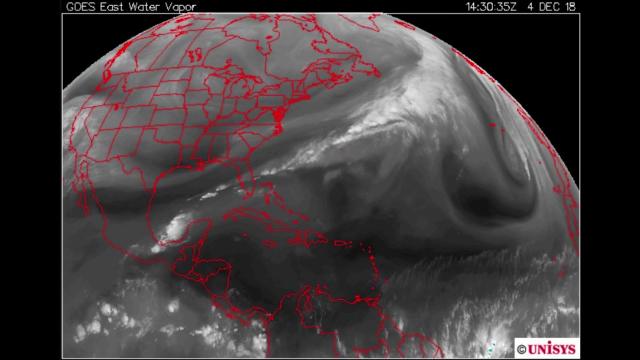
Danger! Alert! Warning! Hawaii! West Coast! East Coast! BIG STORMS, baby.
Description
https://www.paypal.me/THORnews
WARNING: I am Saturday Night cray cray mood in this video.
God bless everyone,
T
@newTHOR on twitter
https://www.facebook.com/thornewsgo
Tshirts
https://hitthebuttonbaby.com/
the crankywxguy blog
http://www.stormhamster.com/entry/e020919.htm
mike's weather page
http://www.spaghettimodels.com/
models
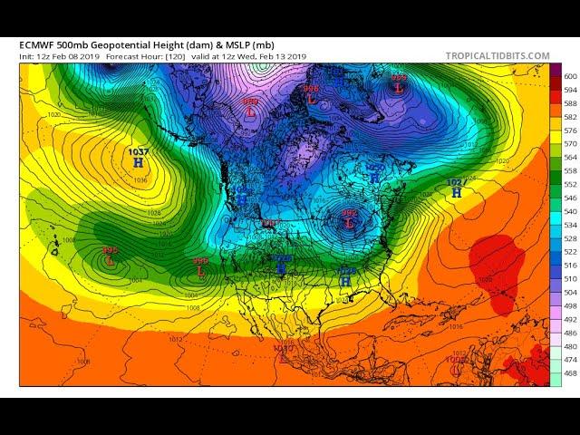
https://www.tropicaltidbits.com/analysis/models/
a look at the Sun
https://sdo.gsfc.nasa.gov/data/
https://weather.com/forecast/regional/news/2019-02-08-hawaii-storm-high-winds-coastal-flooding
Unusually Strong Hawaii Storm This Weekend May Bring Damaging Winds, Unprecedented Coastal Flooding, NWS Says
These winds should be strongest Saturday night into Sunday night, and are capable of downing trees, knocking out power, and, if strong enough, could lead to some structural damage over much of the island chain.
The highest winds will be on the highest volcanic peaks on the Big Island where winds could gust to 120 mph Sunday into Sunday night.
Coastal Flood, High Surf
The north shores of Hawaii are no stranger to high surf generated from distant North Pacific storms in the winter months.
However, swells generated by this intensifying storm this weekend will produce "giant, disorganized waves" and could lead to "unprecedented coastal flooding from late Saturday through Sunday along exposed north and west-facing shores," according to a high surf warning issued by the National Weather Service in Honolulu Friday.
NWS-Honolulu also warned of "extreme harbor surges" along north and west-facing shores of Kauai, Oahu, Molokai and north-facing shores of Maui this weekend, stressing the potential for "significant damage to coastal property and infrastructure," with "evacuations and road closures possible."
Offshore wave heights north of the islands could rise to 60 feet by Sunday, according to the NWS, a danger to ships.
Other Potential Strange Impacts
There are other potential aspects to this unusual storm.
Given the cold nature of the storm, snow could fall not only on the typical Big Island summits of Mauna Kea and Mauna Loa, but potentially atop Haleakala, a broad shield volcano on Maui.
Low temperatures in Honolulu may dip into the upper 50s Sunday or Monday. That may not sound chilly to most of you, but Honolulu International Airport has only dipped into the 50s 22 times this century, last occurring almost exactly three years ago.
That deep cold air aloft could also fuel some bands of thunderstorms over the islands Sunday into Monday, if the atmosphere is moist enough.
Those thunderstorms could produce brief strong wind gusts, perhaps even hail.
A supercell thunderstorm on March 9, 2012, produced hail over 4 inches in diameter on Oahu, a state record.
Twitter Ads info and privacy
The storm made an impact on air travel. More than 200 flights into and out of Seattle-Tacoma International Airport were canceled on Friday, according to the flight-tracking website FlightAware. Nearly 100 flights scheduled for Saturday also were canceled.
(MORE: Strongest Storm to Hit Hawaii in 25 Years This Weekend?)
To the south, residents in Portland packed supermarkets to grab supplies before the snowstorm arrived, and schools canceled weekend activities, according to the Associated Press.
"If it comes in like it's supposed to, it's going to be quite the storm," Portland Bureau of Transportation spokesman John Brady told the Oregonian.
But not everyone in the area was concerned about Maya's impacts.
"I love it. I'm excited about it," Autumn Sang told the AP while she shopped for supplies at a grocery store in Tualatin, Oregon. "I think that Portlanders, most of them are city people and they come from a lot of different places, so they're not so used to it. It's like, 'Use your brain! If you don't have to go out, don't go out.'"

