Hurricane Florence is set to hit the East Coast & could be the Worst Disaster in USA History
Description
We've got a bad situation that could get much worse.
God bless everyone,
T
https://www.paypal.me/THORnews
Tshirts
https://hitthebuttonbaby.com/
THORNEWS
PO BOX 35946
HOUSTON TEXAS
77235-5946
the crankywxguy blog
http://www.stormhamster.com/entry/e090718.htm
the wave master
https://dabuh.com/
https://weather.com/storms/hurricane/news/2018-09-06-hurricane-florence-atlantic-ocean-bermuda-us-east-coast
Florence, Currently a Tropical Storm, Poses an Increasing Hurricane Danger to East Coast Next Week
Florence will intensify next week as it moves westward.
Florence will generate swells that will begin to affect the U.S. East Coast this weekend.
There is still considerable uncertainty on Florence's path next week.
However, the threat of landfall or a close brush along parts of the East Coast is increasing.
Interests in Bermuda and the eastern U.S. should monitor Florence's forecast.
Florence may have weakened to a tropical storm over the Atlantic Ocean, but it will reintensify early next week and poses an increasing danger to the U.S. East Coast mid- to late next week.
As of Friday evening, Florence was still hundreds of miles east-southeast of Bermuda, moving west.
After rapidly intensifying Tuesday and Wednesday, Florence is being affected by strong southwesterly winds aloft. This wind shear – a change in wind direction and/or speed with height – has disrupted Florence's small core, stepping down its intensity considerably.
Short-Term Forecast: Wave Generator
Florence is not an immediate threat to land through Tuesday.
However, Florence will generate swells that will begin to affect Bermuda on Friday and the U.S. East Coast by this weekend, the National Hurricane Center said. Swells will also propagate to north and northeastward-facing coasts of the Lesser Antilles, Puerto Rico, Hispañola, the Turks and Caicos and the Bahamas into this weekend.
These swells will produce life-threatening surf and rip current conditions at these beaches.
Wind shear is expected to diminish into the weekend, and Florence will track over increasingly warm ocean water. This will allow Florence to reintensify.
While there remains uncertainty in Florence's track, there is a farther south trend in recent forecast guidance, a trend which has been reflected in NHC forecasts over the past few days.
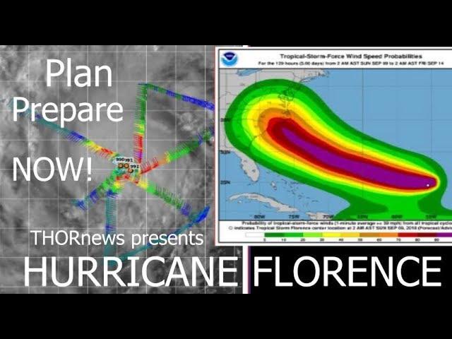
It's important to remember the forecast cone produced by the NHC below shows the potential track of the center of Florence. Impacts from a hurricane extend well beyond the cone.
If Florence tracks along the northern edge of the cone, given its forecast intensification and, importantly, increase in size, it could still bring tropical storm conditions to Bermuda on its nearest pass on Tuesday.
However, if Florence tracks near the southern edge of the cone, Bermuda may see little more than some clouds and some breezier weather.
It's simply too soon to tell at this point, but the current forecast trend is to move Florence farther south.
There are no watches for Bermuda at this time.
For now, interests in Bermuda should closely monitor the progress of Florence.
Uncertain, But Increasing U.S. East Coast Danger Next Week
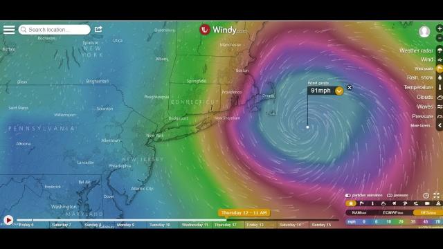
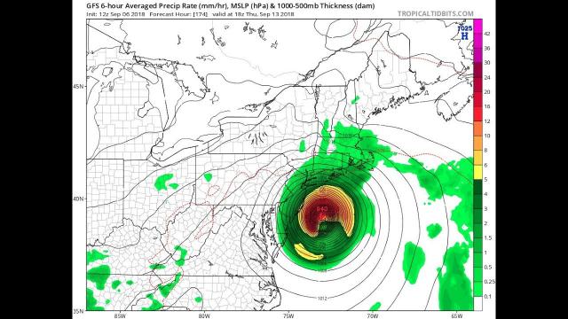
The forecast of Florence and impact to the U.S. East Coast mid- to late next week remains highly uncertain, but the danger to the coast is increasing.
The key to Florence's future forecast relative to the East Coast appears to hinge on the strength and westward-extent of a dome of high-pressure aloft expected to develop and strengthen north of Florence over the western Atlantic Ocean early next week.
Scenario 1: If that high-pressure ridge is stronger and extends farther west, that would increase the chance of a hurricane landfall along the East Coast, particularly over some part of the Southeast or Mid-Atlantic coast mid- to late next week, with the remnant then driving inland.
Prognosis: Increasingly possible
Scenario 2: If that high-pressure ridge is weaker and doesn't extend as far west, that would diminish but not eliminate the chance of a landfall. However, that could still bring Florence uncomfortably close to the East Coast, resembling a slow-moving nor'easter. Several days of damaging surf, coastal flooding and beach erosion would occur in this scenario along at least a portion of the East Coast.
All interests along the U.S. East Coast from Florida to New England should monitor closely the forecast of Florence. If you live in a hurricane-prone location, now is a good time to make sure you have a preparedness plan in place.
In preparation, North Carolina Gov. Roy Cooper declared a state of emergency for his state ahead of Florence. The readiness procedure, in this case, was put in place to help farmers move crops during harvest easier to avoid losses.

