The Energy is LIT & LEGIT! Tropical Storm Isaias! Apple Fire! The Sun! Ohio Tornado Warning!
Description
it's getting crazy out there.
God bless everyone,
T LEWISON
5430 BIRDWOOD RD. #416
HOUSTON TEXAS 77096
https://www.paypal.me/THORnews
https://venmo.com/TEric-Lewison
$THORnews on CashApp
https://www.patreon.com/thornews
TWC notes
https://weather.com/storms/hurricane/news/2020-07-31-hurricane-isaias-forecast-bahamas-florida-united-states
Isaias Prompts Hurricane Watch for Parts of Florida Ahead of Strengthening in Bahamas, Track Up the East Coast
Hurricane conditions are expected over portions of the Bahamas Friday.
Isaias has prompted hurricane watches and tropical storm warnings in parts of Florida.
First impacts could be felt in parts of Florida as soon as Saturday.
The forecast for this system is still uncertain because of multiple factors.
Isaias may ultimately impact a sizable swath of the East Coast as far north as New England early next week.
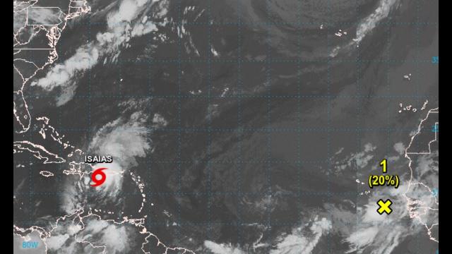
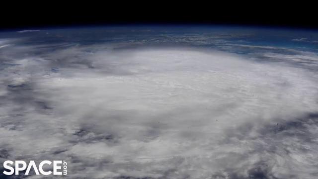
Hurricane Isaias (ees-ah-EE-ahs) is expected to strengthen as it tracks through the Bahamas into Saturday and then will move near Florida this weekend, before tracking up the East Coast as far north as New England next week.
Isaias became a hurricane following an investigative flight by the Hurricane Hunters late Thursday, which found winds of 80 mph. Isaias remains a Category 1 hurricane, on the Saffir-Simpson Hurricane Wind Scale.
Tropical storm warnings are in effect for parts of the Florida Peninsula, including Miami, Fort Lauderdale and West Palm Beach. A warning means tropical storm conditions are either expected to occur within 36 hours.
A hurricane watch has been issued for portions of Florida from north of Deerfield Beach to the Volusia-Brevard County line. A hurricane watch is typically issued 48 hours before the anticipated first occurrence of tropical-storm-force wind, conditions that make outside preparations difficult or dangerous.
Hurricane warnings have been issued for the Bahamas, including Nassau, Freeport and the Abacos Islands, where hurricane conditions are expected into Saturday.
Strong winds and bands of rain are lashing the southeast Bahamas, as well as the Turks and Caicos. Wind gusts over 50 mph have been measured in the Turks and Caicos late Thursday night and early Friday. Conditions are deteriorating in the central Bahamas.
Heavy rain triggered serious flash flooding in several areas of Puerto Rico. Just under 4.5 inches of rainfall was measured in San Juan on Thursday. Multiple fallen trees, mudslides and flooding was reported in southwest Puerto Rico, according to local emergency management. River flooding has been recorded by USGS gauges in several locations in Puerto Rico.
Below is a look at what we know about the forecast for any potential U.S. and Caribbean impacts.
Florida, East Coast U.S. Concern
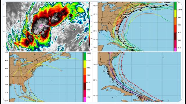
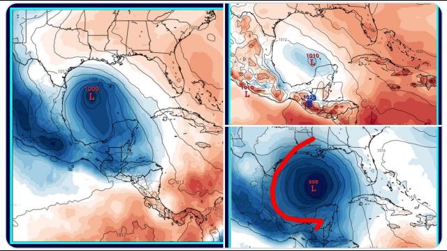
The NHC projected path below shows that this system could be located near or east of the Florida Peninsula this weekend. Isaias will then gradually move northeastward near the East Coast. However, this forecast is not nearly as straightforward as it might seem
There are a number of reasons for this uncertainty in both track and intensity.
It's still too early to precisely determine this system's future track and intensity, with regard to the mainland U.S. and, therefore, potential impacts including rain, wind, and storm surge flooding.
Here is what we are actively figuring out right now:
Intensity Considerations
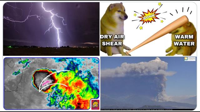
Despite Isaias' recent upgrade, the hurricane is forecast to battle somewhat unfavorable upper-level winds - producing what meteorologists refer to as wind shear - along its track from the Bahamas and beyond. This is usually a nemesis of tropical cyclones.
However, warm water is plentiful near the Bahamas and the Southeast U.S. coast, a factor that would favor intensification.
These sum of these two competing factors should lean toward slow intensification as shown in the National Hurricane Center forecast.
Track Considerations
The forecast track going forward leans heavily on steering features in the atmosphere – the Bermuda high and an upper-level dip in the wind flow over the Mississippi Valley. How strong Isaias is early next week also plays a role in its track.
There are also large uncertainties in how fast Isaias moves near the East Coast. Some computer model forecasts are faster, some a bit slower. So, the timing of all this may also change.
Isaias is expected to make a northward, then northeastward turn this weekend into early next week. But exactly when and how sharp that turn occurs will heavily influence impacts in Florida and along the East Coast. And that depends on the exact orientation and strength of those steering features.
The National Weather Service will be releasing extra weather balloons to help figure out these atmospheric steering agents in the next few days.1.

